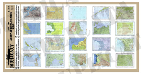
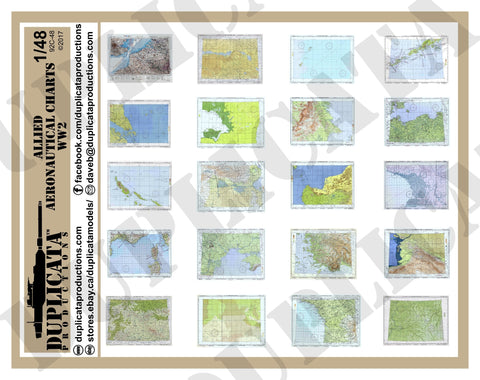
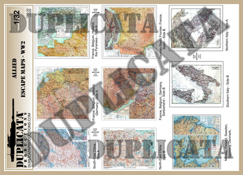
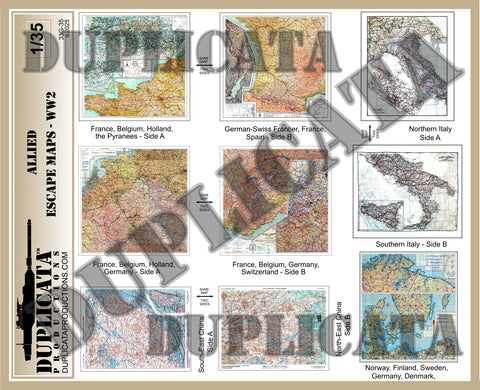
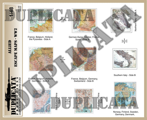
Allied Maps - Central Normandy, France #1 - WW2 - 1/35 Scale
Discounts
When you buy more than 1 item you get a discount!
Spend between $10 and $20.99 - get 10% off*
Spend between $21 and $30.99 - get 15% off*
Spend between $31 and $60.99 - get 20% off*
Spend more than $61 - get 25% off*
* Please click the SALE! tab at the top of the page for details!
Features:
- Printed on premium, high quality paper tested and selected specifically for scale model maps.
- 8 distinctive maps of specific areas in the Central Normandy. Each map comes in 2 sizes (16 maps total).
- Maps of: Caen Defences, Ryes, Evrecy, Bayeux, Caen-Falaise, Thaon, Lisieux and the Cotentin Peninsula
- Small maps measure approx. 1" x 1" (2.4 x 2.4 cm), Large maps measure approx. 1 3/8" x 1 3/8" (3.6 x 3.6 cm).
- Sourced from genuine US and/or British maps.
Benefits:
- Quickly and easily add color, visual interest and focal points to any diorama, vignette or model.
- Achieve incredible accuracy with authentic maps actually related to the location depicted in your diorama.
- Thin, strong paper allows bends, creases and folds. Can be dampened with water and realistically moulded or draped.
- Can be weathered with chalk, colored pencils, ink, or paint.
- Can be cut, torn, shredded and even burned to simulate age or damage.
- With so many maps provided, one sheet can be used for many different projects.
We Also Recommend